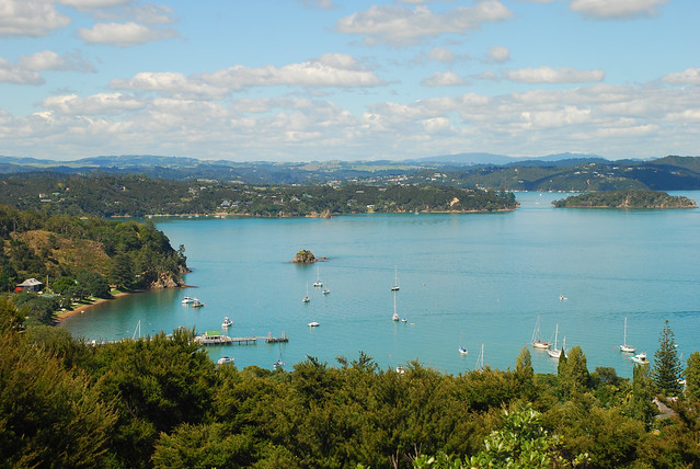
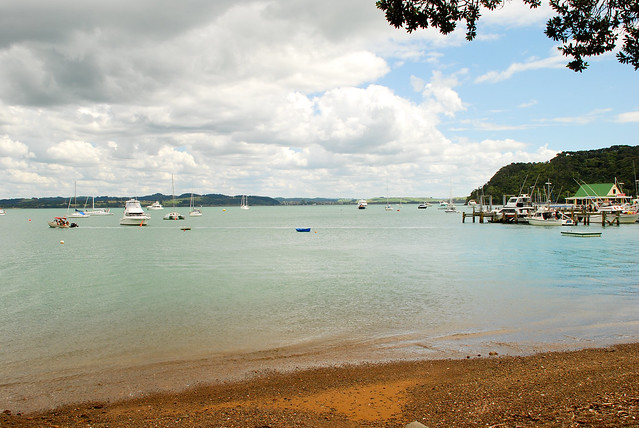
Ah, the Bay of Islands. The last stop in our journey around New Zealand. Many, many travelers we had met along the way told us to make time for this place. And we were glad that we did.
If you make it out here, stay in Russell – it’s a quieter town and a great base to explore from. There’s also a great restaurant called the Gables which serves a mean rack of ribs as well as some more exotic game.
Russell is a beautiful place – great to lay back for a few days.
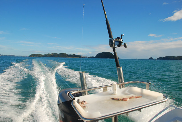
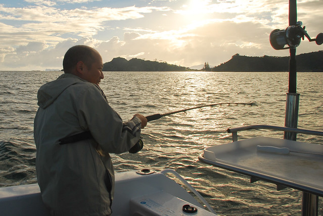
But if you want to be active, there are plenty of activities, including boat cruises, dolphin watching, kayaking… and fishing! Lisa had never been deep sea fishing before, so we decided to give it a go.
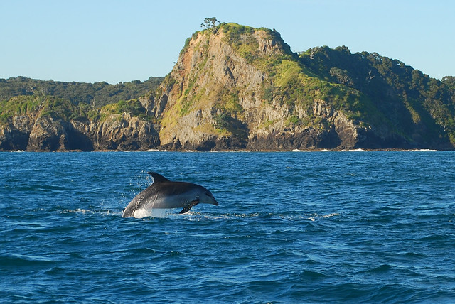
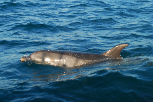
We got lucky on our trip out and saw some spinner dolphins up close.
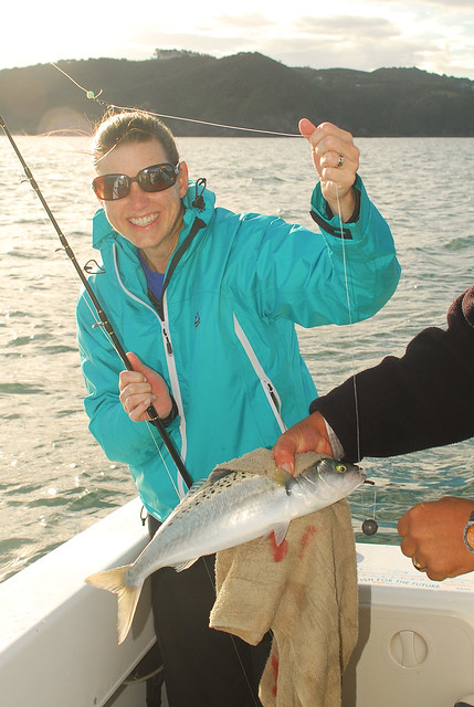
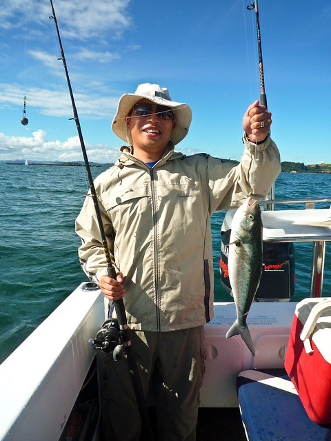
Lisa caught the first one of the day (fish, not dolphin!!)
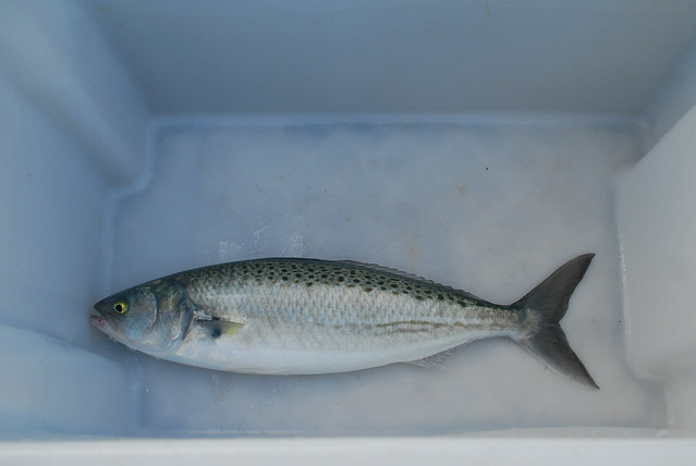
It’s known locally as something pronounced “cow-eye” or more easily referred to as sea salmon. It put up a pretty good fight!
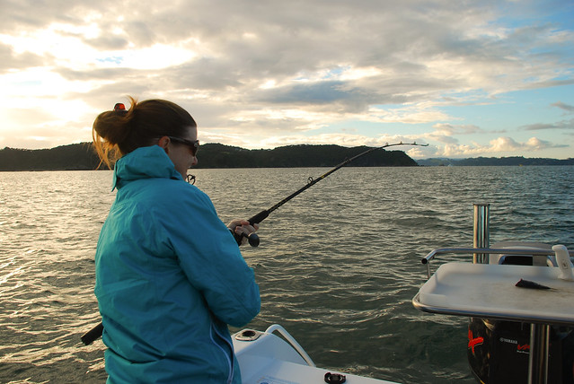
Here I am fighting another sea salmon:
It was probably a good 18 inches!
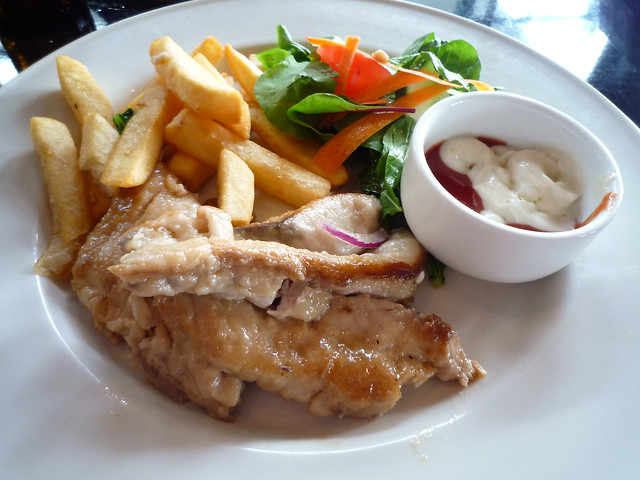
We caught maybe 8 sea salmon and many small red snapper. A very fun day on the water and the best part was filleting the salmon we caught and having it cooked fresh for lunch.
So, we agree with everyone else who recommended visiting the Bay of Islands. Definitely try to make time for it, maybe at the end of your trip!
MOUNT DOOM! Yes, it’s the famed mountain of evil in Mordor from the movie trilogy, Lord of the Rings. And it’s in New Zealand, which, after all of the advertising for LOTR tours, might just as well be Middle Earth. See the map below – it only lists movie filming sites on just the North Island, which includes the set of Hobbiton. They’re just starting to film the Hobbit.
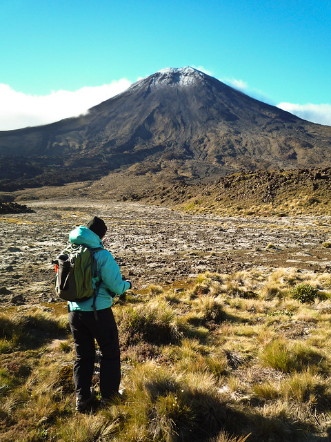
Here’s the real Mount Doom (a.k.a. Mount Ngauruhoe) which was chosen for the movie because it’s the quintessential perception of a volcano cone. Most volcanoes aren’t perfectly formed like this.
One can hike Mount Doom – it’s a tough 3 hour there-and-back hike after you reach the “saddle”. Alas, we wouldn’t have time to do the hike (you really have to double-time it if you want to make it in a day), nor would the weather permit us. The wind picked up a lot about 15 minutes in to our hike and clouds moved in to obscure the volcano.
To get to the Mount Doom trail, you have to climb up to the saddle via a fairly steep trail called the Devil’s Staircase. It takes about 45 minutes and your heart will be pounding throughout, but it’s very doable.
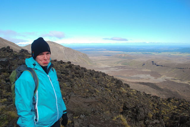
As you can see, the view is beautiful, BUT we had to contend with nasty wind and cold temps.
Really windy, really cold and REALLY STEEP = Lisa with a frowny face.
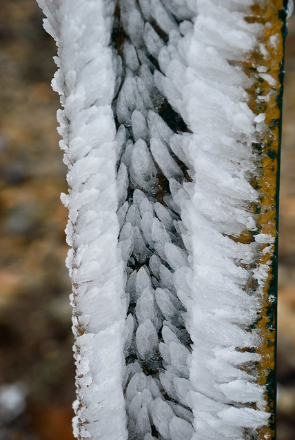
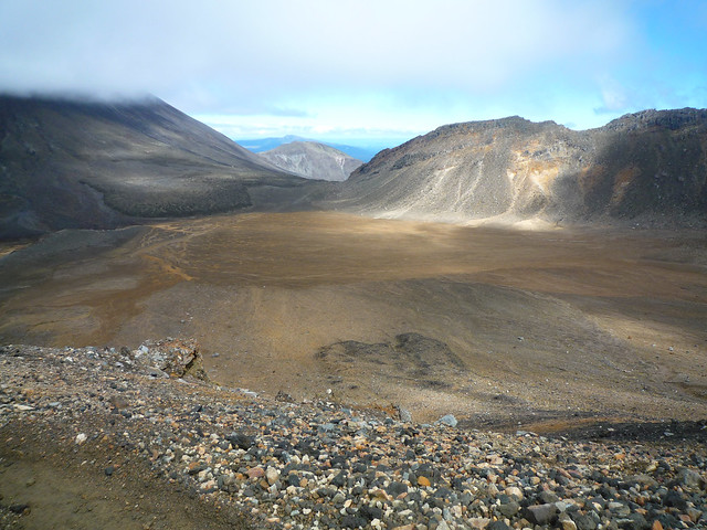
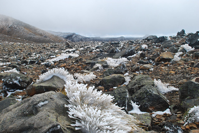
After Devil’s Crossing, we reached a high plateau which is basically tundra – frozen ground.
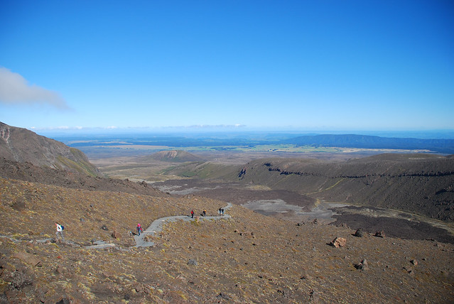
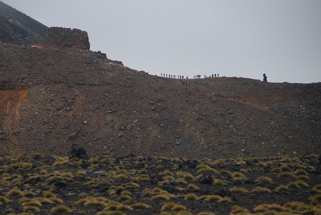
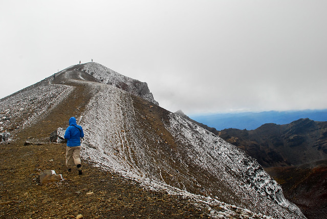
Up ahead on the ridge, we see a lot of hikers taking in the sights. We’ll be going there next.
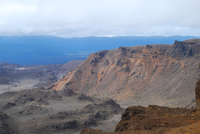
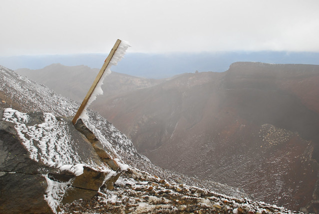
These were the views they were looking at:
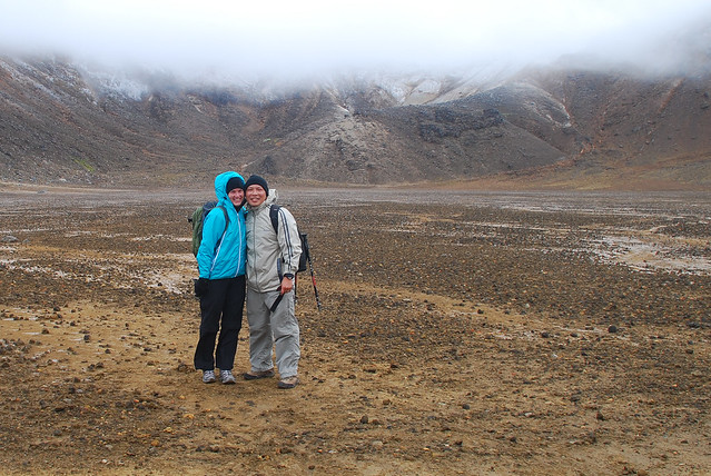
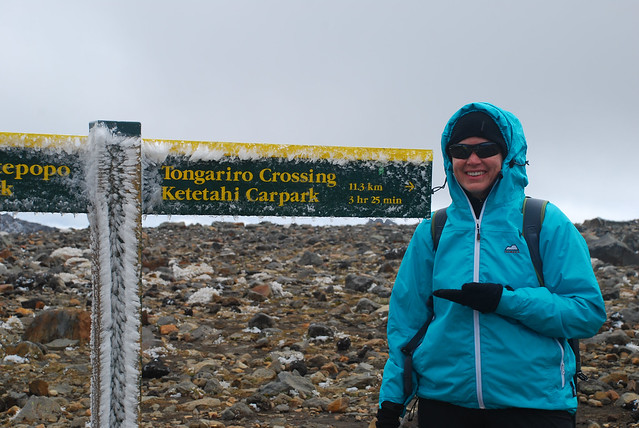
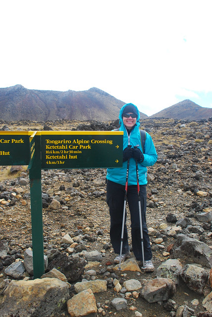
Oh, did I mention it was freezing up there? Here we are at about the halfway point. Does it get any easier?
It certainly is breathtaking, despite the cold and wind…
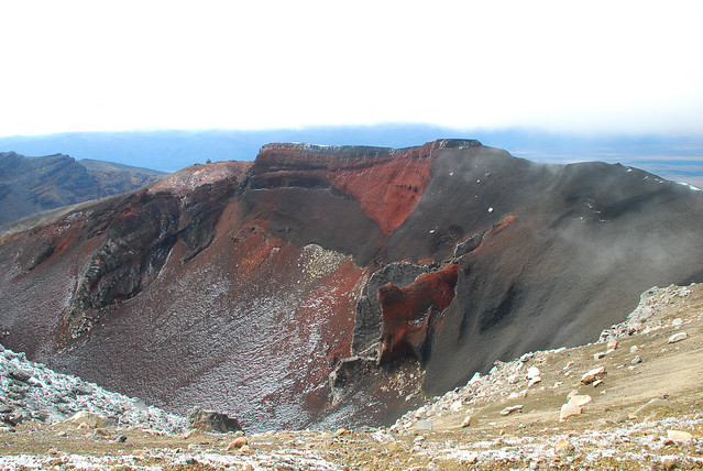
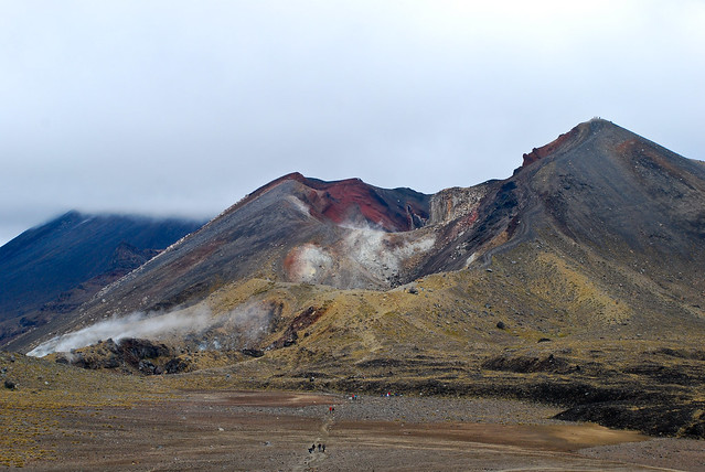
After another climb (beware it’s quite slippery), we come upon the caldera of a volcano, still steaming and very sulphuric.
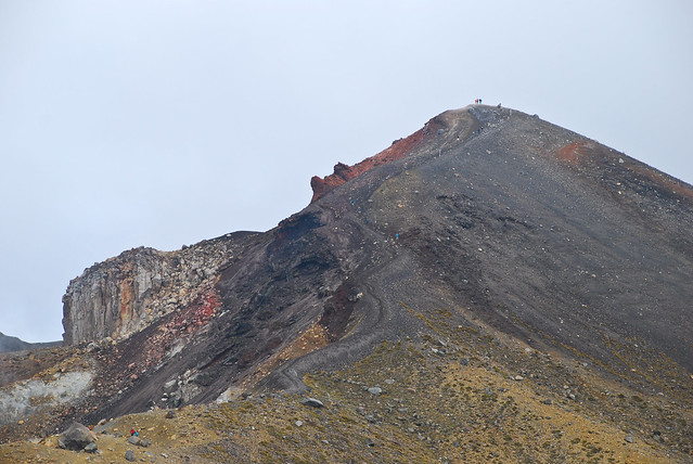
But it isn’t about to get easier, we’ve got to climb to the top of the volcano. Did I mention the wind? It’s now even stronger and we’re worried about gusts that could blow us… well… down the mountain. 🙁
And once you summit the volcano? It’s straight downhill on a scree. What’s that, you ask? It’s loose volcanic gravel. Quite slippery, but easy to navigate once you learn how to dig in your heels and lean back a little.
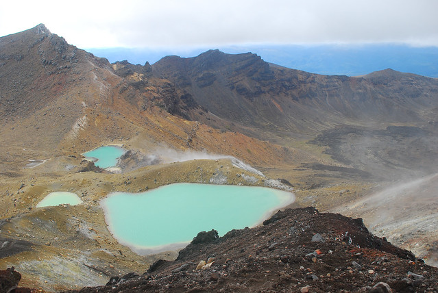
As you’re descending, you see three sulfuric lakes, a common postcard shot.
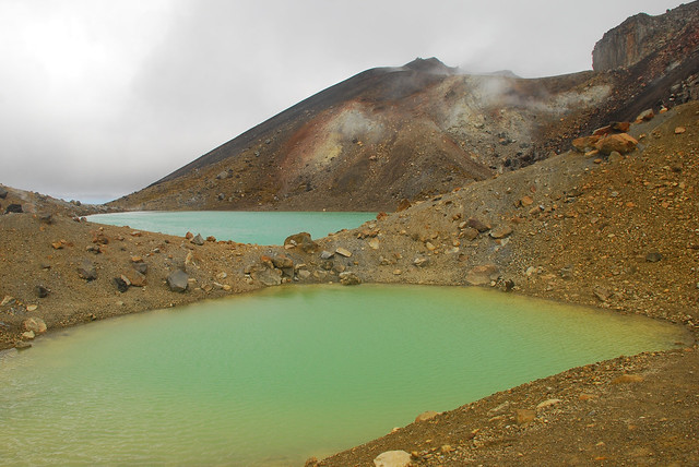
Which are less blue as you get closer…
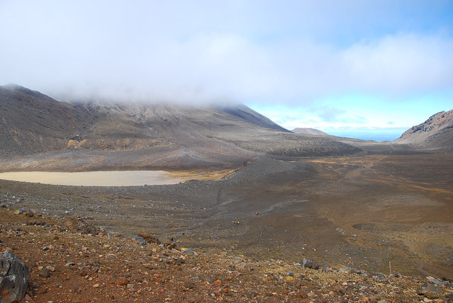
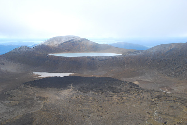
The trail leads around to the right of the lava flow and up the ridge to a lake (you can see the trail on the rand-hand side of the photo).
By now, the hike is going to be a lot easier. You’re more protected from the wind and the steep climbs are over. Now it’s just managing the downhill stress on your knees.
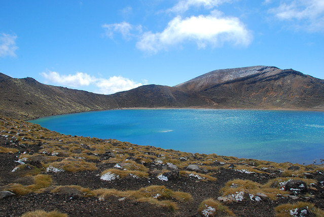
Here’s a closer look at the lake. The sun starts to come out, though the wind is still pretty rippin’. We stopped here for a lunch even though we weren’t hungry. We were already 5 hours in to the trip and were running on pure adrenalin.
The back side of the crossing is a slight downhill, but it goes on for a long long time. It can wreak havoc on your knees so be prepared to ice down if your legs aren’t strong enough to handle the stress.
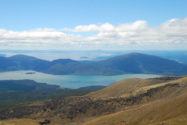
By now, the weather was sunny and the wind gone. We started shedding layer after layer as we descended. Along the way, you see some beautiful views of Lake Taupo to the north.
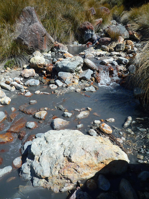
There was a little stream, but the water looked really gray and minerally. I’ve never seen water that color except around cement!
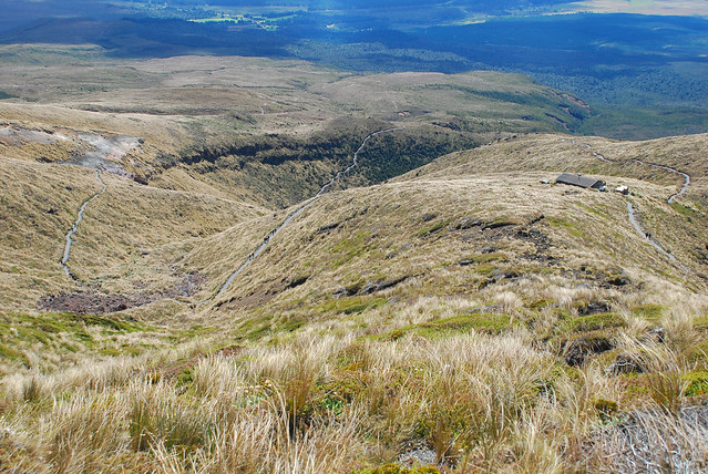
The grass here is exactly the kind you see in Lord of the Rings. There were fields of it growing on the mountain. The trail seems like its neverending, and finally you reach Ketatahi Hut where there’s fresh water and lodging if you need it.
After you leave the hut, there’s about an hour and a half (maybe more) of downhill through a forest which is nice, but the scenery doesn’t change much at all. Just when you think you’re about to reach the parking lot, there are more steps down, until you suddenly turn the corner and there it is, with other hikers lounging around waiting for their pickup.
All in all, it was a very challenging one-day hike, especially given the weather and temperature. I wouldn’t want to attempt this in bad/rainy weather and would encourage everyone who attempts it to be overly prepared clothing-wise as the weather can change on a dime. Don’t forget your first-aid kit in case of blisters or rolled ankles. But have fun – it’s a beautiful hike!
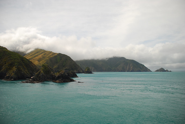
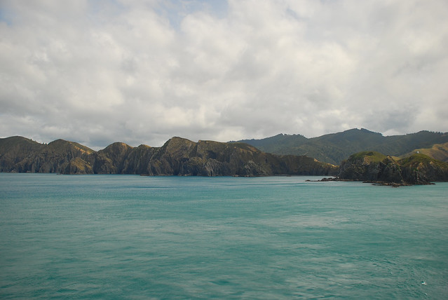
Two weeks on the South Island have flown by and we’ve barely scratched the surface. Now, we’re on our way to the North Island for our last week. We’re taking the car ferry from Picton to Wellington, journeying through some scenic sounds and islands.
Along the way, you see little pockets of houses – communities accessible only by boat. Some are holiday homes for the wealthy.
After 3 hours, we reach our destination…
Wellington
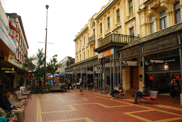
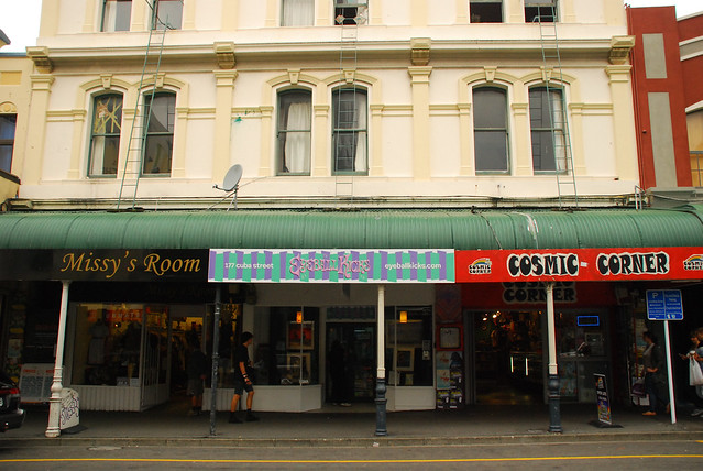
“Welly” is the capital city of New Zealand. It’s known for its volatile weather – people say it can be downright shitty but when it’s good, it’s really really good. This, and the grungy artsy feel it has reminded us a lot of San Francisco. Cuba Street is like a grungy version of the 3rd Street Promenade in Santa Monica.
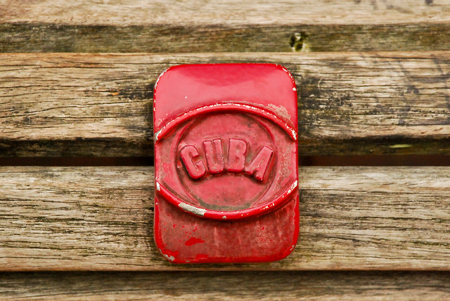
There are a lot of references to Fidel and Havana, but it’s really only for show. There aren’t any Cubans or Cuban culture here.
It’s still funky nonetheless.
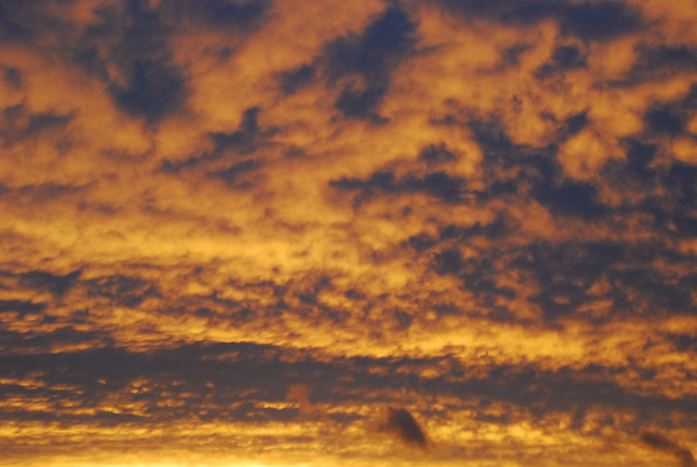
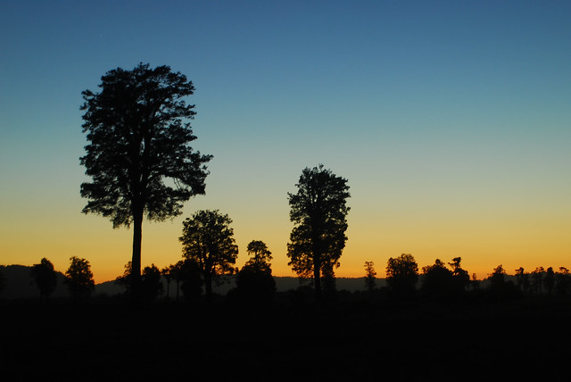
Travel Notes: try the Matterhorn restaurant for dinner. It’s quite good. Here’s a nice sunset in Welly the one night we stayed there…
Next, we head to Tongariro National Park, the site of Mount Ngarauhoe, or better known as Mount Doom, from the Lord of the Rings Trilogy.
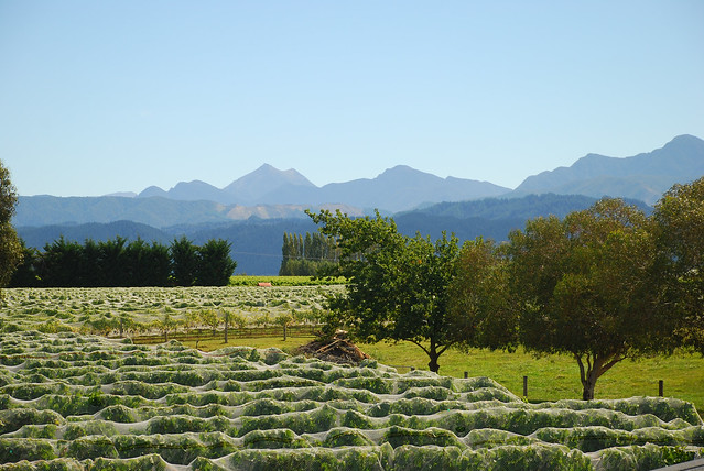
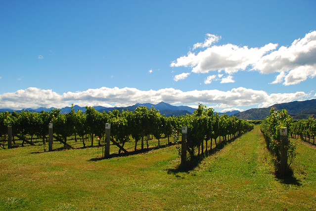
Marlborough is not the only wine region in New Zealand, but it is the most well known and exported. In fact, we hear that because of the unfavorable exchange rate and the more restrictive wine import and distribution laws in the U.S., there’s a glut of New Zealand wines, and that means lower prices.
Marlborough is primarily known for white wines – specifically sauvignon blanc and pinot gris among some other varietals.
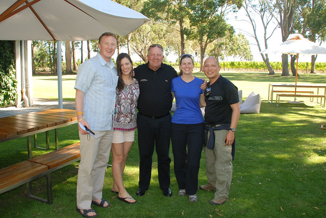
We chartered a driver and went wine tasting with a nice couple from SF who we had met only a few days before at Abel Tasman Park, Kat and Kurt.
So what were our favorite wineries? We liked pretty much every wine at Forrest and their wines were pretty affordable. Hans Herzog was also another winner, albeit more expensive. And finally, though it’s mass produced, Cloudy Bay was very good, especially the Te Koko Sauv Blanc, which had been stored in oak longer than most other sauv blancs.
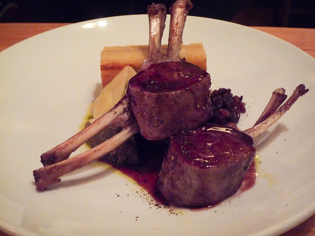
In wine country, there are also great places to eat. So we had many fantastic meals. We tried to eat as much lamb as possible, and it was very clear that lamb is better in NZ. I’m sure it’s the fact that it’s so fresh and free range.
Outside of drinking and eating, we didn’t do a whole lot and we’re proud of it. So, not many photos, but stay tuned, we’re headed up to the North Island next.
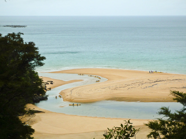
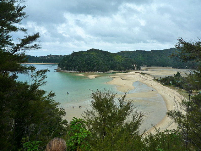
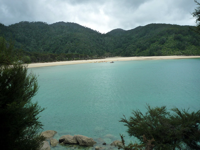
Abel Tasman Park is home to one of the most popular multi-day hikes in New Zealand. It’s known for its secluded golden sand beaches and nice weather.
Travel Notes: We stayed at the Split Apple Lodge – a nice, eco-friendly B&B albeit 10 minutes from both Marahau and Kaiteriteri. We’d recommend staying here if you’re OK with driving for meals, and if you do, go to Marahau. The food’s better there, though there are only a couple of options.
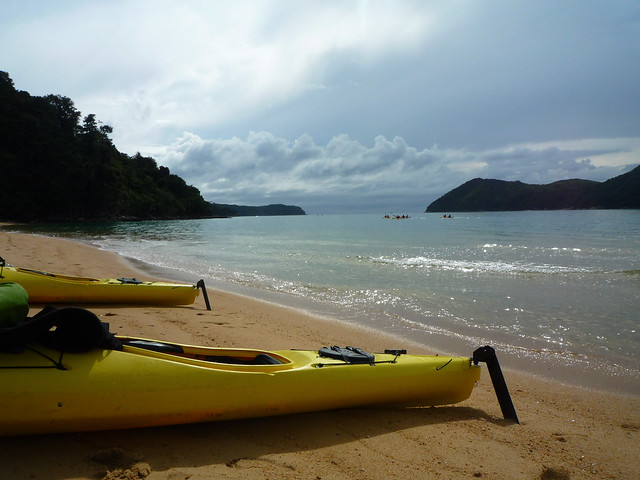
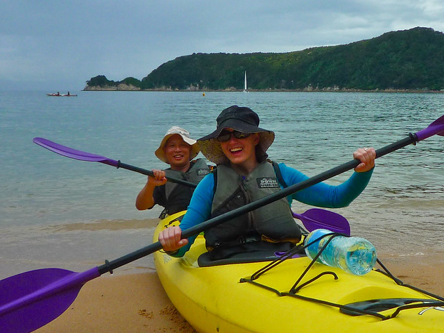
Kayaking and hiking are the major activities in the Abel Tasman park area. So, we did a tour that had both – we kayaked the first part of the day, then we were dropped off at one point in the park, Bark Bay, for a 2 hour hike.. After the one-way hike, we were picked up in another part of the park, Torrent Bay, which was supposed to be the nicest hike in the park. Unfortunately, there are no roads that go in to the park so you have to take water taxis everywhere or hike.
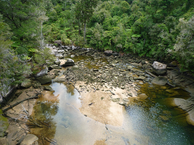
Here are some scenes from the hike:
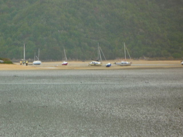
One neat thing was how drastically different the landscape looked between high tide and low tide. This is low tide, where the boats are sitting on the sand.
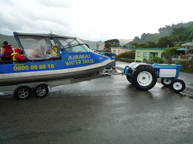
The tide was so low that they drive tractors with boat trailers hundreds of yards away from the shore (it’s all sand). The boat then drives on to the trailer. Then the tractor hauls it back to land. We expected to get off at a dock but instead, we stepped off the back of the trailer.
Take a look at all of our photos from Abel Tasman Park here:
The drive up to Punakaiki was a bit ho-hum until we got close to it and started driving along the coastline.
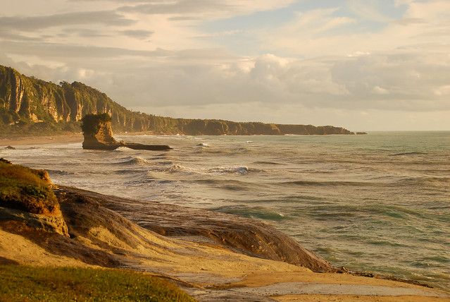
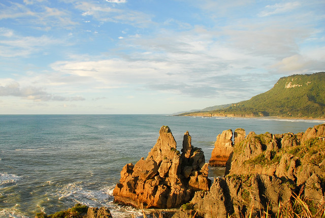
And when you reach Punakaiki, you see scenes reminiscent of the California coastline (and LOST — doesn’t the rock below remind you of the four-toed statue?).
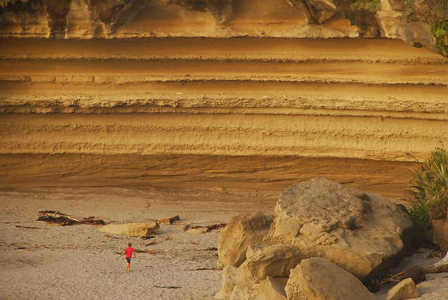
I liked this photo because of the sheer size of the cliffs compared to the little boy playing on the beach.
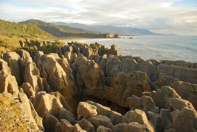
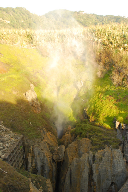
So, the big attraction in Punakaiki are the blowholes and “pancake” rocks.
Here are the rocks again. They’re limestone eroded by years of rain, wind, and surf, so that they look like stacks of pancakes. Quite an unusual sight and a neat stop if you are passing through. It’s only a 20 minute walk from the road.
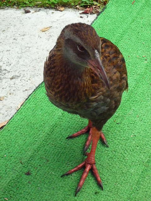
Along the way, you’ll see little flightless birds like this one. We thought it might be a kiwi at first, but were then told that kiwis only come out at night and are super rare. This here is a “weka”. They’re very inquisitive and, like chickens, they’ll eat anything.
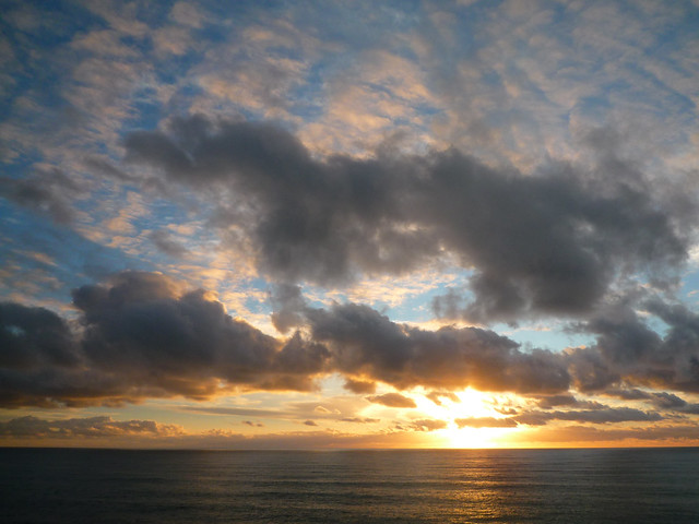
The sunset at Punakaiki:
Next, we drive up to the north of the South Island to Kaiteriteri, and visit the Abel Tasman National Park for some hiking and kayaking!
Here’s a slideshow of all of our photos from driving up the West Coast and Punakaiki Rocks:
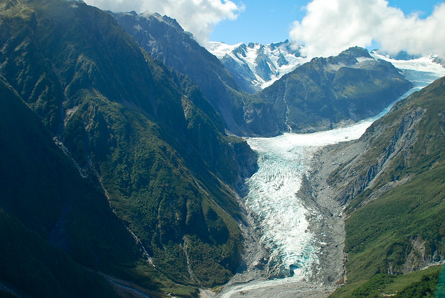
Another highlight on New Zealand’s South Island: its glaciers – Fox Glacier and Franz Josef Glacier.
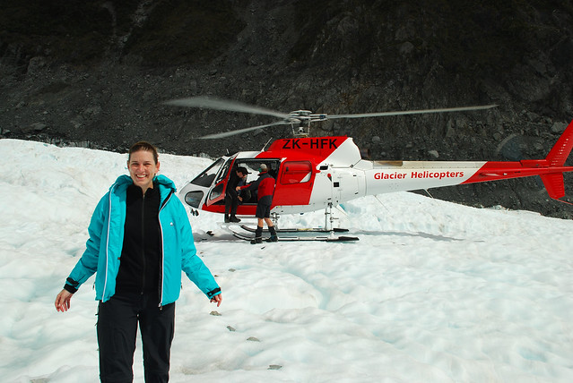
Since we had hiked on a glacier in Argentina (Perito Moreno), we were excited to do it again. This time, though, we decided to do a “Heli-Hike” tour of Fox Glacier, where you fly up to the middle of the glacier and hike around for a couple of hours.
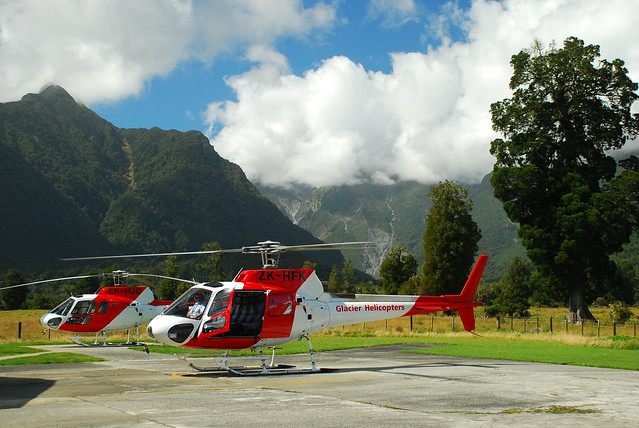
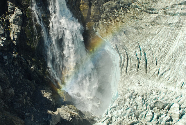
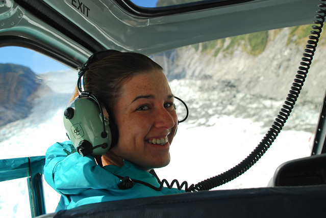
It would be our first time in a chopper and it offered some fantastic views:
But next time we go in a helicopter, we’re going to take our motion sickness meds. Though it was only a few minutes, we were already starting to feel nauseous. A few more minutes in the chopper and we would have had, umm, issues.
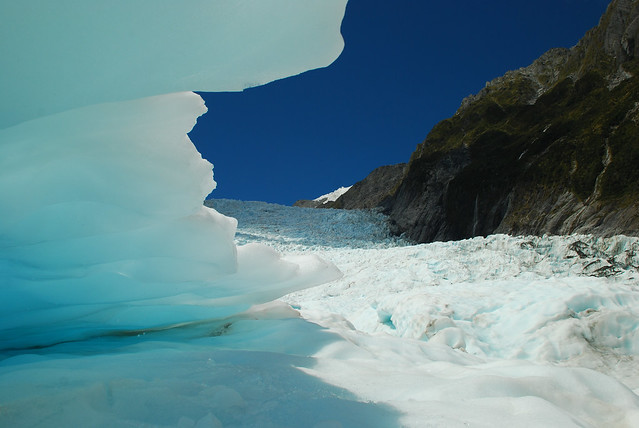
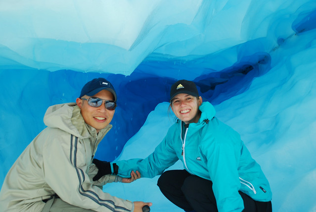
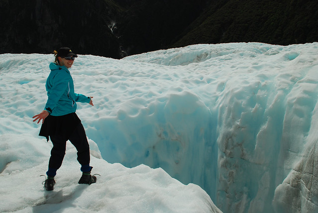
Walking on a glacier is an awesome experience. We’d do it again in a heartbeat. It’s always changing because of the ice melting, cracking, moving down the mountain. And there are just really beautiful views:
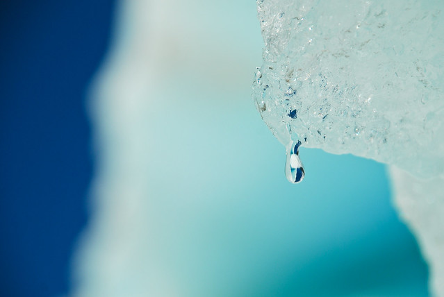
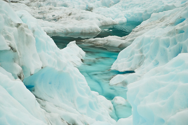
The minerals in the water make the ice look super blue…
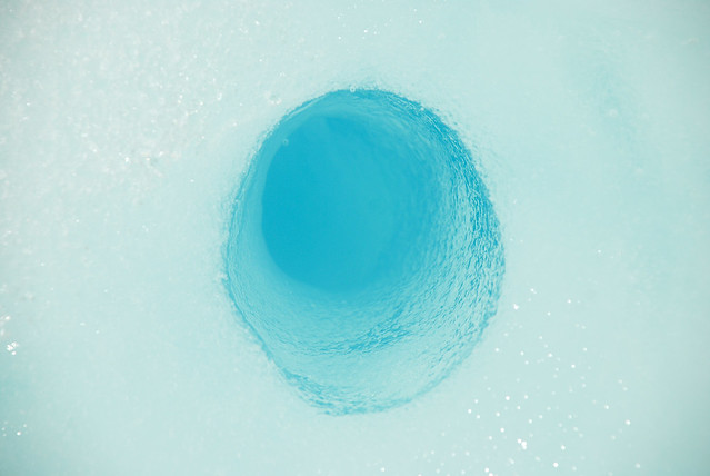
Here’s a really cool example of how a glacier is living and constantly changing. We could hear water running at the bottom of this crevasse so the guide started chopping off hunks of ice to toss in to see how long it took to hear a splash. Fun, right? I know. It WAS fun. And it took 4-5 seconds to hear the splash. So pretty deep. You wouldn’t want to go jump in for a swim.
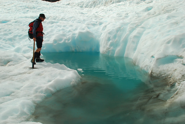
So about an hour later in to the hike we came back upon the same crevasse… OK, so maybe we created this pool from our overzealous ice chunk throwing, but it was surprising how quickly the landscape had changed!
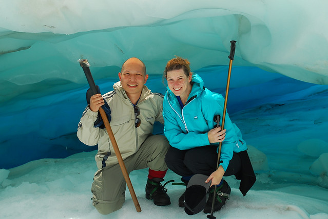
Here we are with a trusty ice axe:
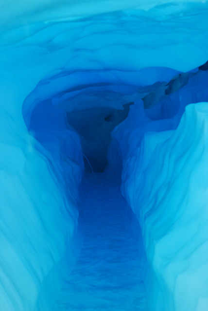
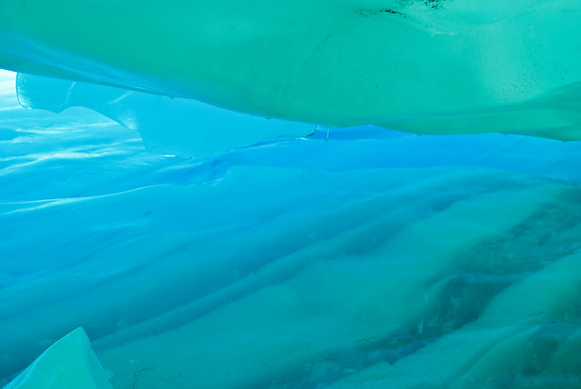
An ice cave:
Another river:
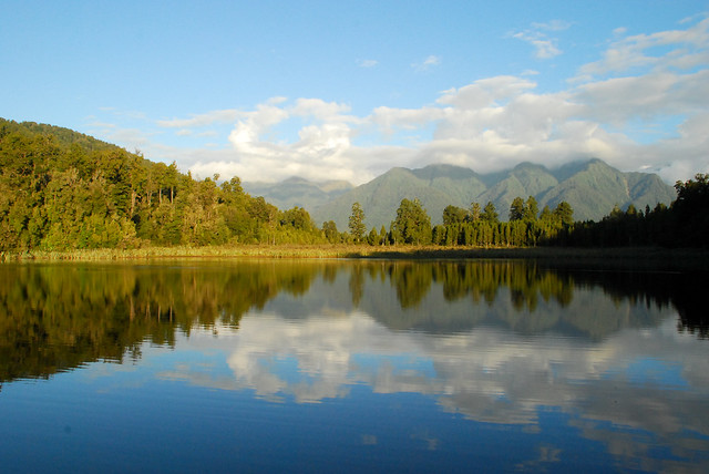
After the hike, we went to check out Lake Matheson nearby. Nice easy hike and great restaurant called Matheson Cafe. It’s the only “nice” restaurant in Fox Glacier town and totally worth the splurge.
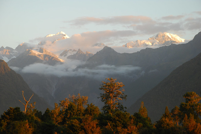
The million dollar view from Matheson Cafe:
And the sunset…
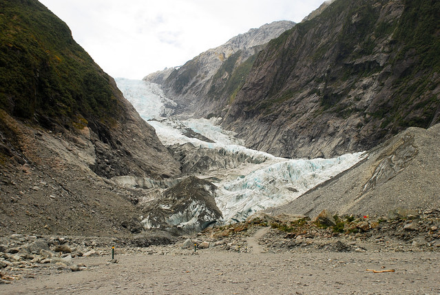
The next day we hiked up to Franz Josef Glacier. Pretty neat to see the terminal face, but you could probably skip it if you had hiked on Fox Glacier.
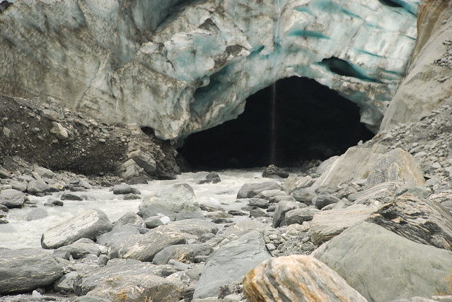
Here’s a giant cave at the base of the terminal face of the glacier. Chunks of ice flowed out from the cave which was pretty cool. We were told that a couple tourists died because they hopped the fence, went in the cave and were killed by falling ice. Not sure if it’s true, but not a smart move if it’s true…
Have a look at all of our photos from Fox Glacier below:
One of the highlights in Fiordlands (southwest of the South Island of New Zealand) is Milford Sound, which is technically not a sound (which we learned is formed by running water) but a fiord carved out by glaciers over the course of thousands of years. The drive to Milford Sound is also rated as one of the top must-drive roads in New Zealand and it lived up to the hype. Really breathtaking in spots. It’s about 3 hours from Queenstown, so if that’s too much of a trek, stay in Te Anau which is much closer.
Milford Sound is the more well-traveled of two famous sounds in the Fiordlands, the other being Doubtful Sound. What’s amazing about this place is how tall the surrounding mountains are and how small you feel. You can’t really get a sense of it until you are actually there next to the wall or see a huge sailing vessel look like a toy boat next to the cliffs.
So, since it was such a well-traveled destination, we decided to try something a bit offbeat – well, not offbeat for us per se, because it was scuba diving.
Why on earth would we want to go scuba diving in freezing water? We don’t know. It was probably a bad idea. But the selling point was that we would dive through murky glacial runoff (fresh, 44 degree F water) for the first 15 feet and then in to clear, 63 degree F sea water underneath. And why is this significant? Because you’d see sealife there that’s normally at super deep depths but is very close to the surface in this environment because of the murky runoff above that filters out the light.
So how cold does 44 degree F water feel (even after wearing 7mm wetsuits, hood, gloves, boots)? @#$(*@@! cold. So cold that it literally took Lisa’s breath away and she started to go in to shock… that is, until our divemaster, a crusty former Egyptian Navy Seal, told her to breath in to her regulator and pushed her head underwater. Tough love! But it worked! She was much happier to be underwater. And here’s Lisa after she made it down:
The first thing we saw were spiny lobsters – you see them just about anywhere. But they were huge. Probably about 18 inches not including antennae.
Here’s an example of deep sea life – black coral. “Yes, but it’s white”, you say. Verry observant. The reason it’s called black coral is the skeleton of the coral is black, so when the dead version of this would wash up on shore, it looked black. But healthy black coral is actually white!
Some other sea life – anemone:
Stinging hydroids:
Here we are trying to warm up in between dives:
Here’s our divemaster. Yes, that is a rusty saw in his hands. I’d be lying if I told you it was standard SCUBA equipment (no way!). He was on his way down to saw some rope off of the propeller.
We were hoping to see this baby fur seal underwater, but he was just chilling out.
Sea urchin:
Brittle star with 11 legs:
After our dives, we did a mini-hike to a waterfall with glacial runoff. It was COLD.
Some more photos of Milford Sound:
See how small that ship looks against the wall? That ship carries hundreds of people.
See the slideshow below for a look at all of our photos:
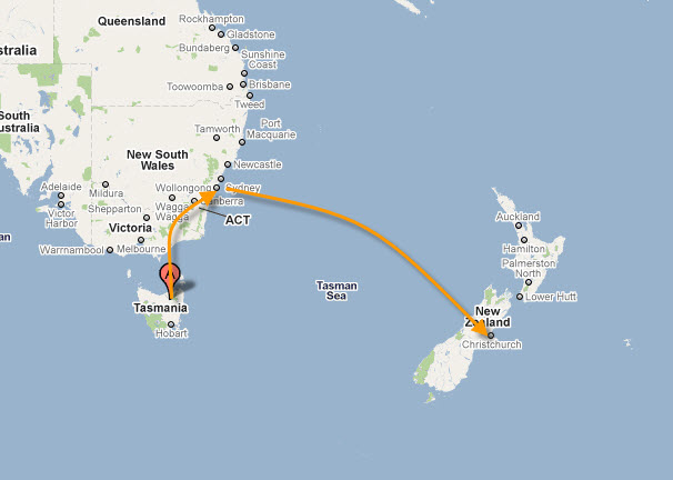
It is with heavy hearts that we write our first blog post on New Zealand. We arrived in New Zealand for an overnight stay in Christchurch. Luckily we left for Queenstown one day before the earthquake. We want to send our thoughts to all those affected by the Christchurch quake. Christchurch is a small quaint town and we know that this quake has deeply affected all residents.
After our brief stay in Christchurch, we hopped down to the southern part of the South Island… Queenstown. To say New Zealand is beautiful is a big understatement. We got our first look at NZ’s beauty in Queenstown.
Lord of the Rings fans know that New Zealand is really Middle Earth… here’s a view of what could be a scene from Middle Earth.
Check out the color of the water… so vibrant!
We also saw our first of many many sheep. It used to be that there were 10 sheep for every human in NZ but after an increase in New Zealand branded lamb and a general paring back process, there is now only 3 sheep for every human. Take a look at some of these sheep…
We leave you with this shot just outside of Queenstown… And to think that this was just the start of NZ beauty!